Olympic Peninsula
Location Description
Sub-locations
352 photos
-
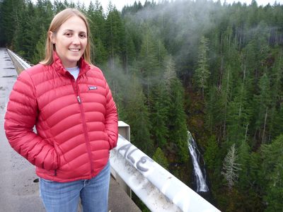
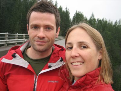
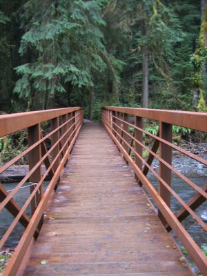
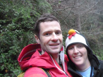
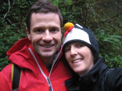
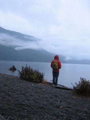
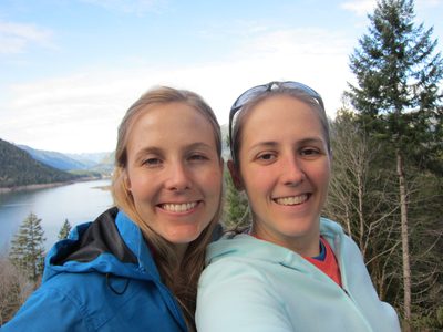
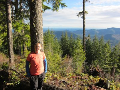
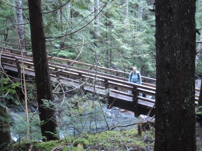
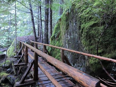
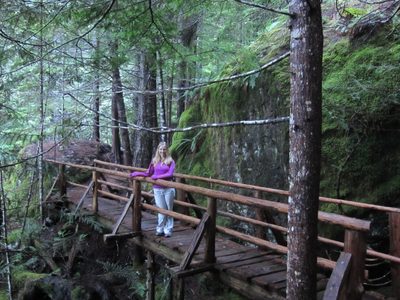
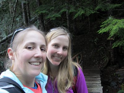
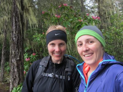
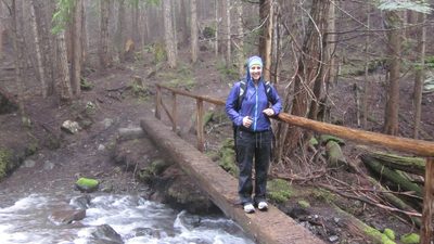
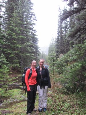
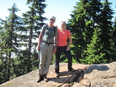
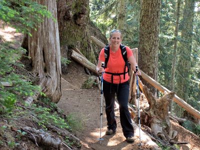
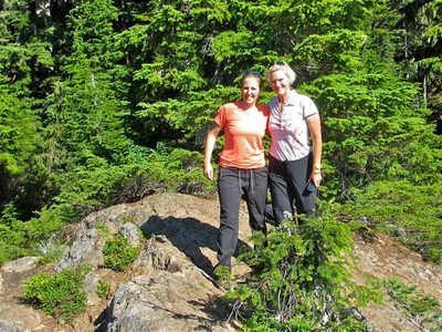
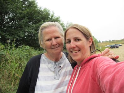
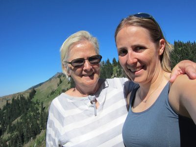
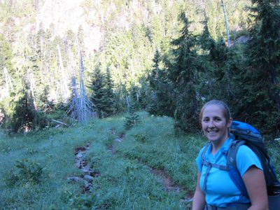
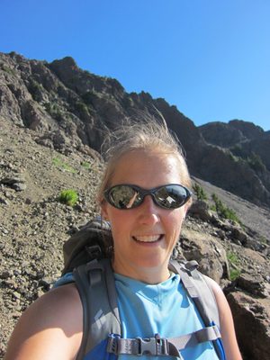
Catherine on the High Steel Bridge over the Skokomish River.
-
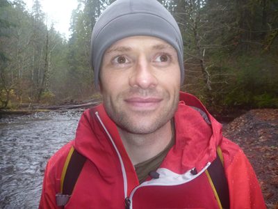
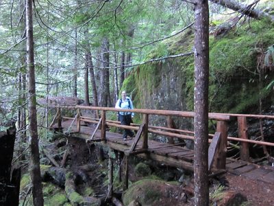
Bridge engineer on bridge!
-
After leaving Olympia Saturday morning, we headed north...
-
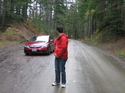
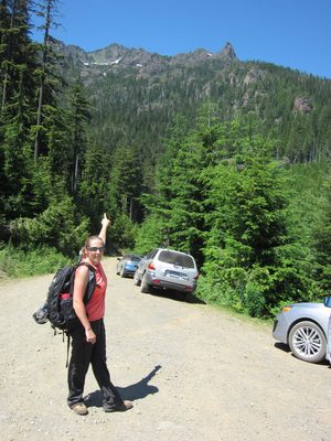
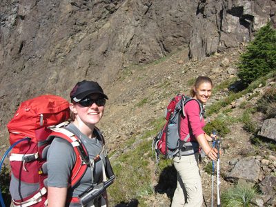
Jay checks on the rental car near the High Steel Bridge.
-
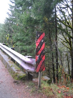
Ah, roadsigns. Always good for target practice.
-
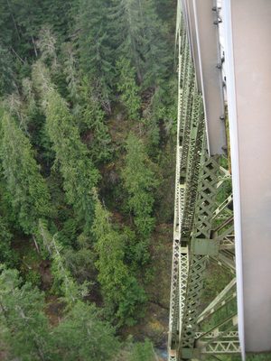
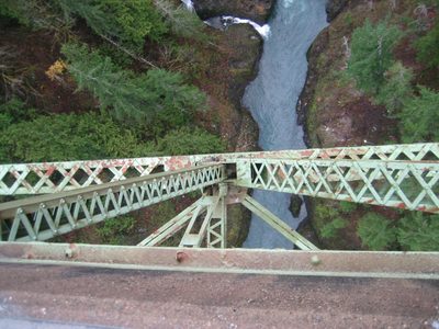
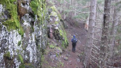
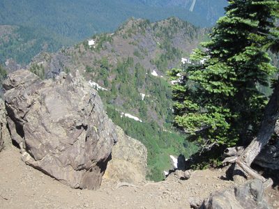
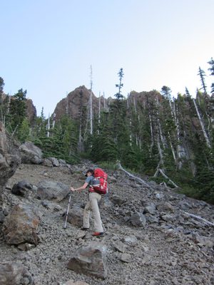
Peering over the edge towards the truss below.
-
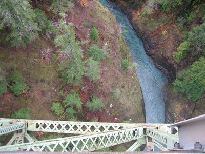
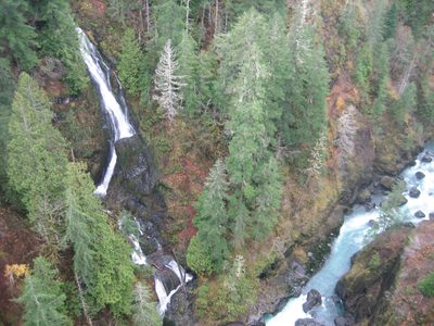
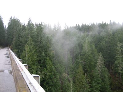
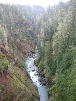
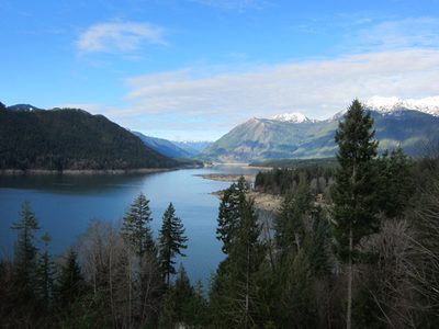
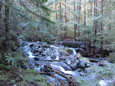
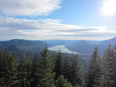
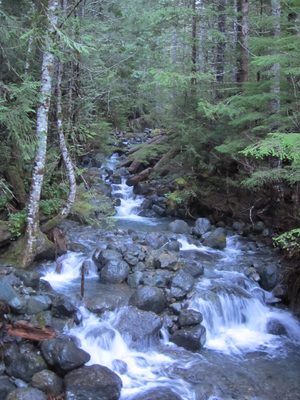
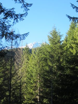
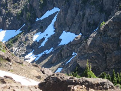
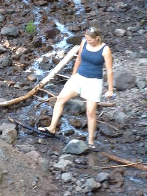
Looking down at the Skokomish River, some 400+ ft below....
-
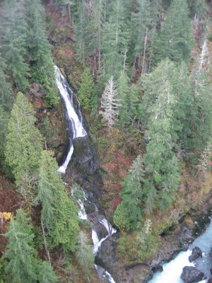
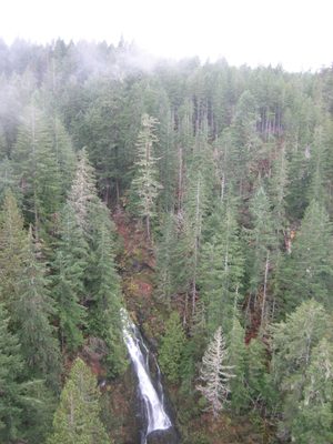
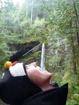
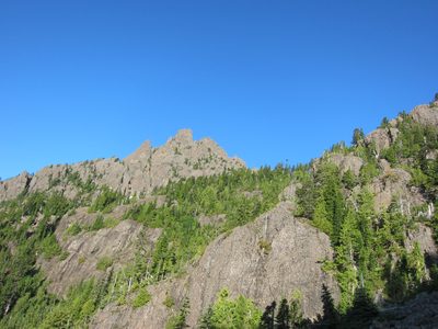
We found this vista through a "waterfall tour" map Jay...
-
But yeah, sure, this is pretty too. The picture really...
-
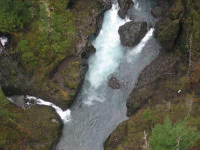
Supposedly the river below is a pretty intense kayaking route.
-
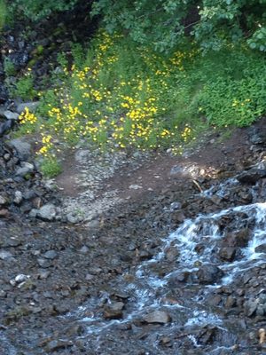
Very pretty, for sure.
-
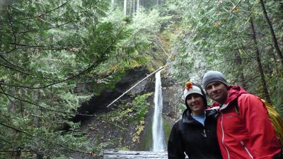
Including the bridge in the shot. The big waterfall is...
-
When I wear my down sweater (very warm) and Jay wears...
-
While it was beautiful in Seattle on Wednesday, and in...
-
This picture is simply washed out a bit, but also is...
-
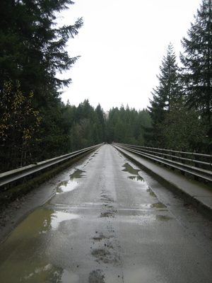
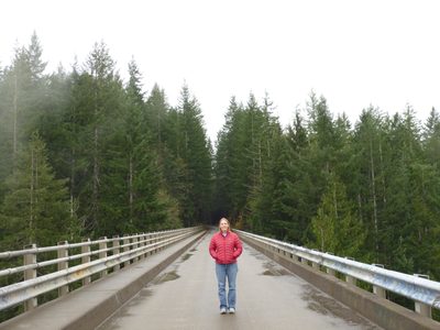
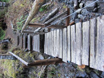
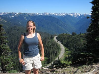
Looking across the High Steel Bridge (685 ft in length)....
-
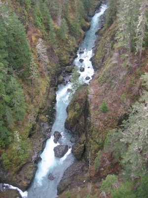
One more look upriver.
-
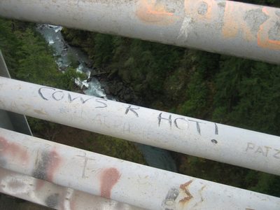
Bridges are also great places for graffiti. Apparently...
-
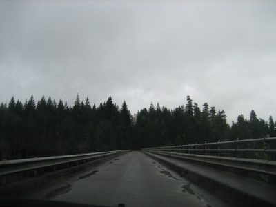
There were two bridges on the road to the High Steel...
-
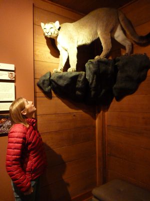
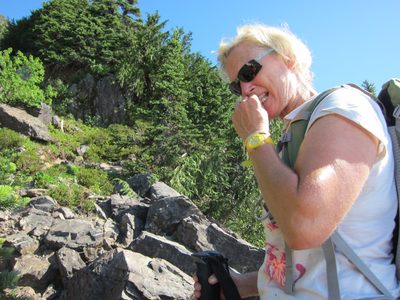
Cat contemplates a different kind of cat.
-
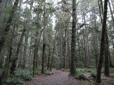
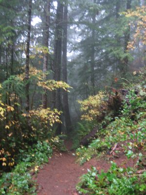
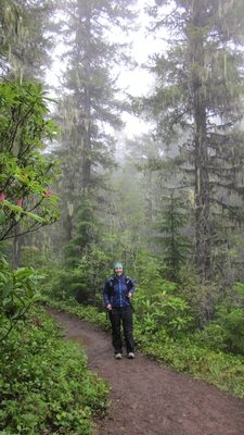
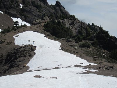
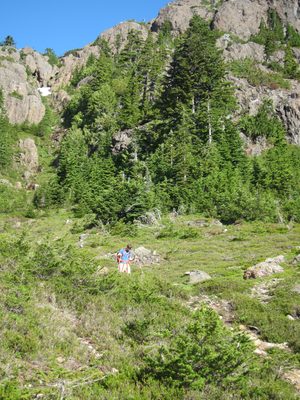
The Marymere Falls trail. It was very wet, even while...
-
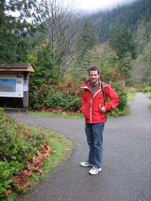
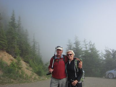
Jay and I drove to Port Angeles, and, upon learning that...
-
Jay was in a tshirt and a light jacket. Catherine was...
-
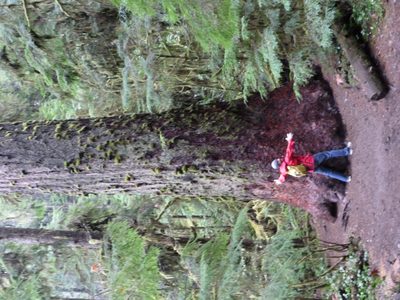
Jay hugs the biggest tree we saw.
-
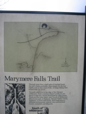
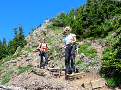
We were off on the Marymere Falls Trail! Something like...
-
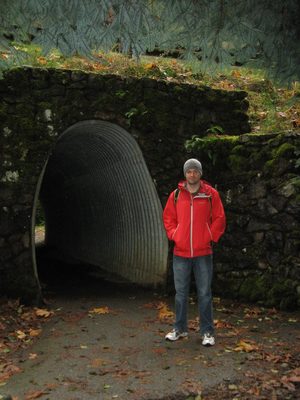
Jay near a tunnel under 101 at the start of the hike.
-
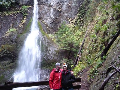
Jay and Catherine by Marymere Falls.
-
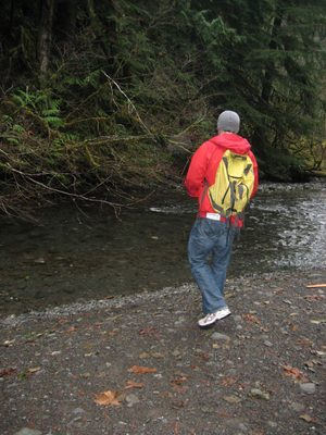
Jay tries to sneak up on any fish that might be in the river.
-
Man my camera stinks at this light level. Trying to...
-
With flash...
-
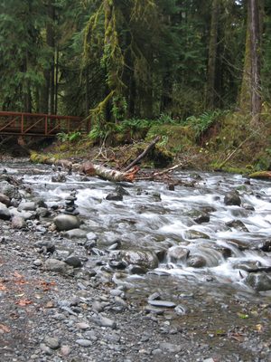
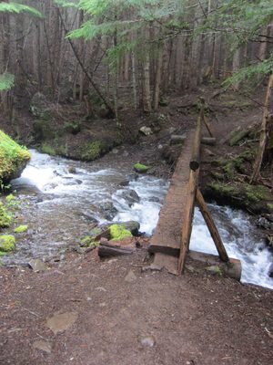
A fancy new bridge over the river... in the river was...
-
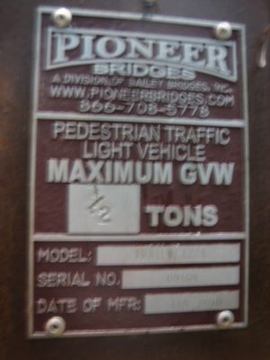
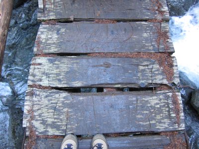
Bridge information. Too bad it's illegible.
-
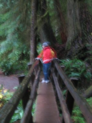
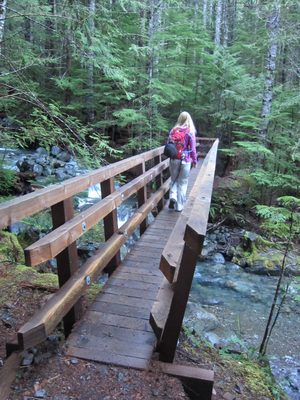
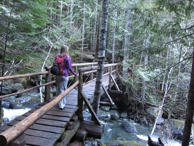
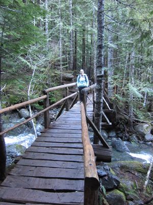
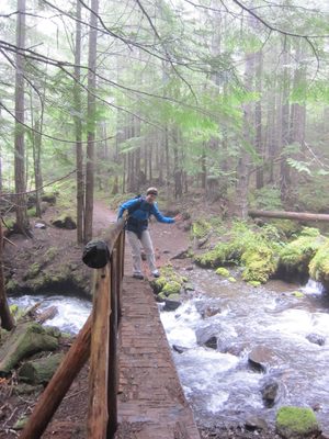
Walking across the bridge.
-
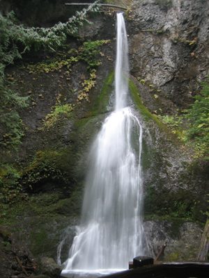
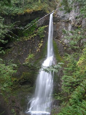
Marymere Falls!
-
Catherine takes a drink...
-
Another shot by the falls; this time from the upper...
-
Jay, wide-eyed with wonder and happiness in the Olympic...
-
Trying to capture both halves of the falls and the pool...
-
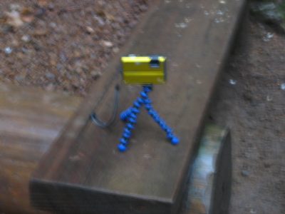
Showing of Jay's use of his gorillapod. Not exactly an...
-
Blurry, but showing the other bridge over the river near...
-
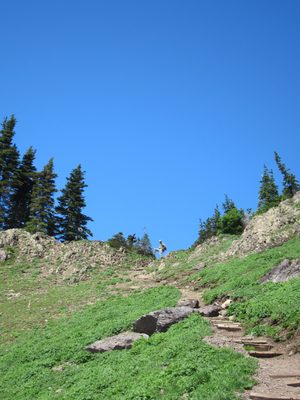
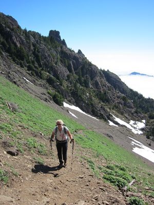
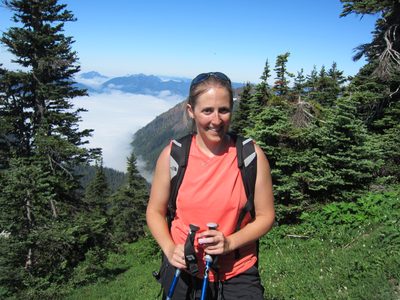
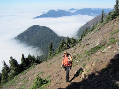
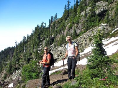
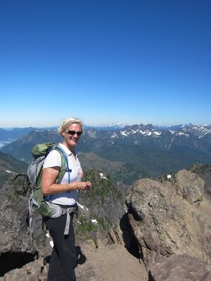
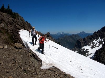
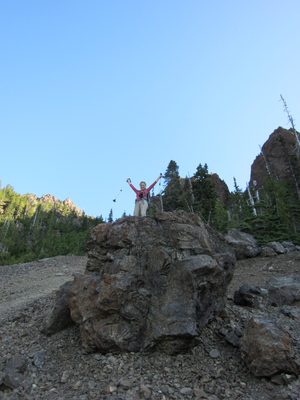
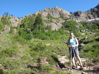
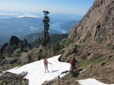
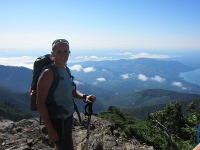
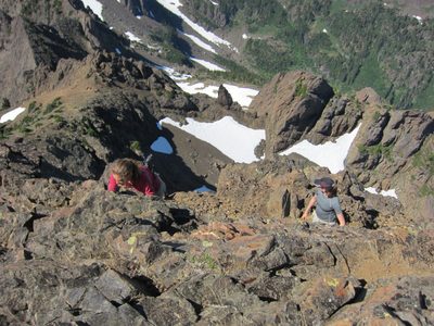
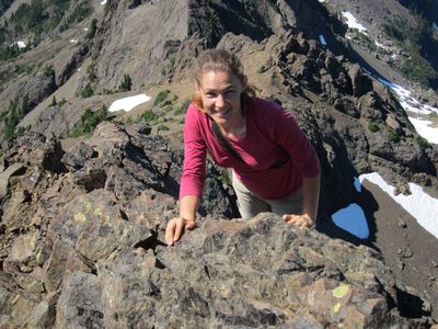
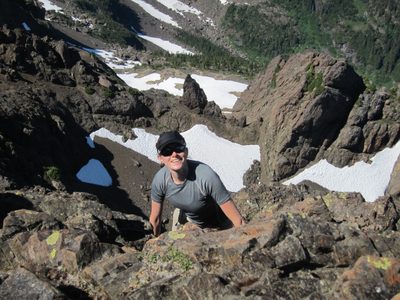
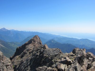
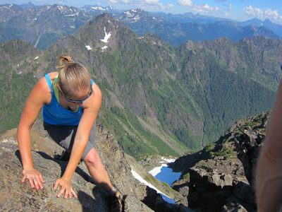
At our topping out point of the Storm King Trail.
-
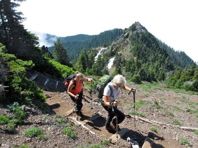
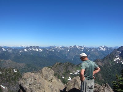
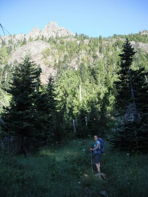
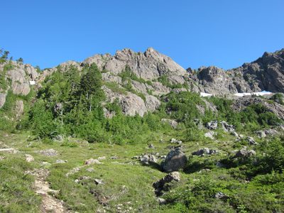
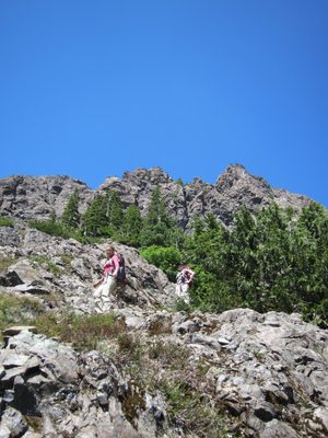
Jay and I started up the trail to the top of Storm King...
-
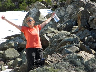
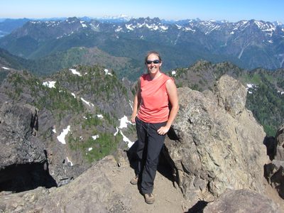
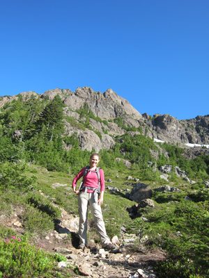
Still smiling, however. I will also take this chance to...
-
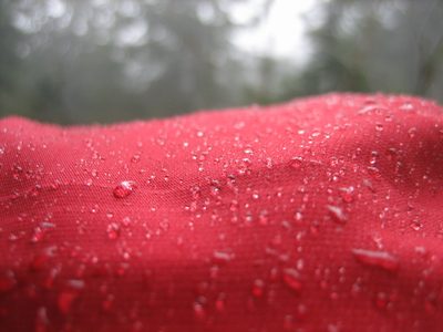
Water beading up on Jay's hood. Note: it wasn't...
-
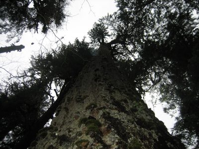
Looking up from the base of a very, very large tree.
-
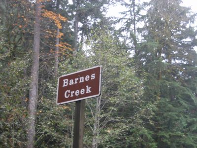
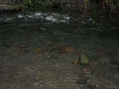
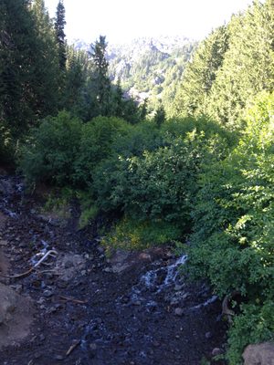
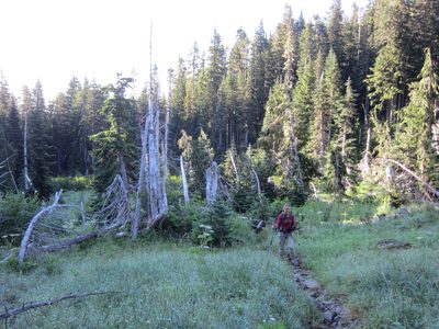
I believe this was the creek near Marymere Falls that we...
-
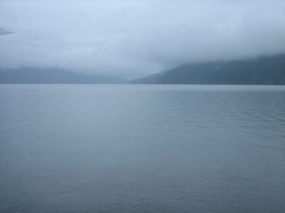
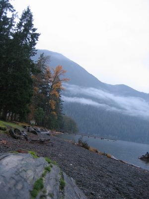
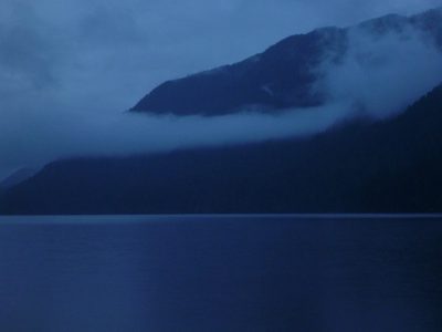
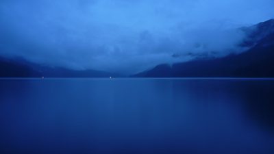
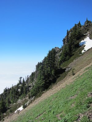
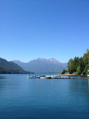
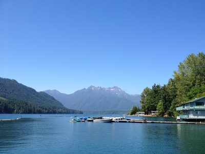
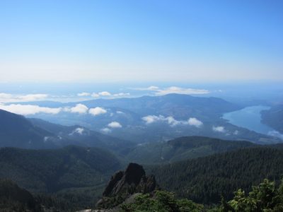
Lake Crescent. This lake was formed in part by a...
-
Jay has more awesome pictures of the lake, that I am...
-
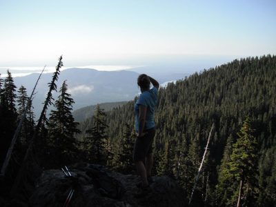
Jay ponders the yonder across the lake. We're standing...
-
The official depth of Lake Crescent is 624 ft, though...
-
Sadly, we saw very little wildlife on our hikes this...
-
Jay got some awesome pictures of Lake Crescent as the...
-
The dots of light are car headlights on 101 circling the lake.
-
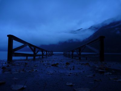
A dock out into the lake...
-
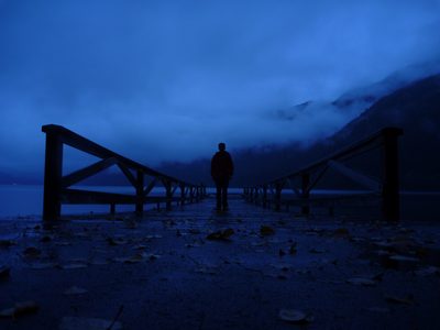
... with a lone man visible. It's fun to flip between...
-
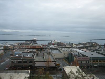
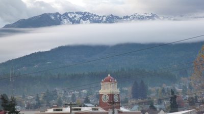
View from the hotel in Port Angeles. If it were...
-
Looking out from our hotel window in Port Angeles at the...
-
Our hotel is Port Angeles (the Port Angeles Inn, I...
-
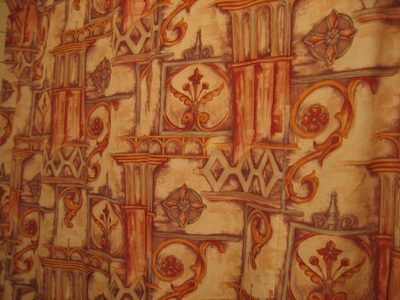
The shower curtain.
-
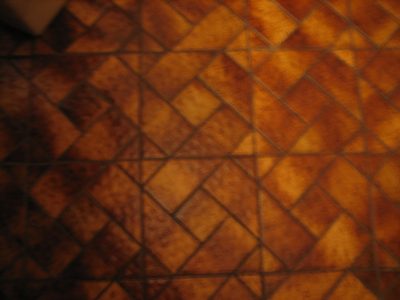
And the floor.
-
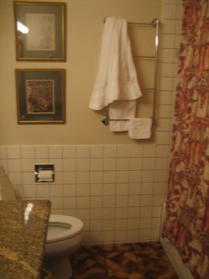
Put it all together in a small room and your eyes hurt a...
-
When we got up Sunday morning and left our "harbor view"...
-
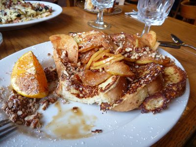
I think this is an unfortunate example of poor food...
-
Looking out the window from breakfast at the Port...
-
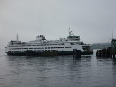
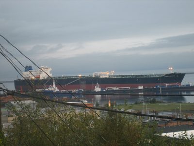
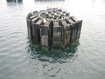
Our boat, the Puyallup, pulling into the dock to pick us up.
-
Sunday morning, we drove from Port Angeles to Kingston,...
-
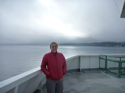
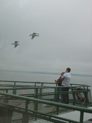
Catherine on the very windy, very cold bow of the Puyallup.
-
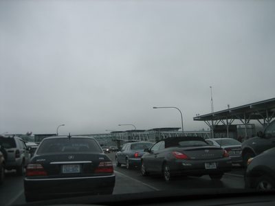
On the ferry!
-
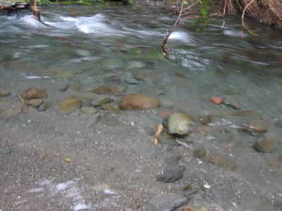
Look how clear the water is! You can see multiple feet...
-
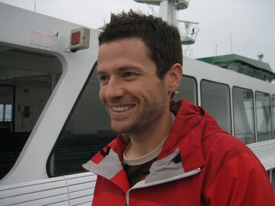
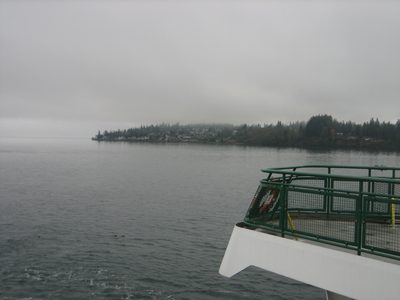
Jay smiles on the ferry.
-
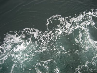
Desktop background of water churning near the hull of the ferry.
-
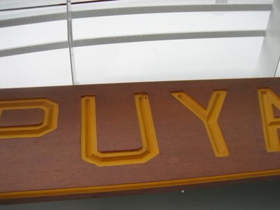
Our boat was named the Puyallup, which is also the name...
-
The fellow in black bought a bag of cheetos, stood out...
-
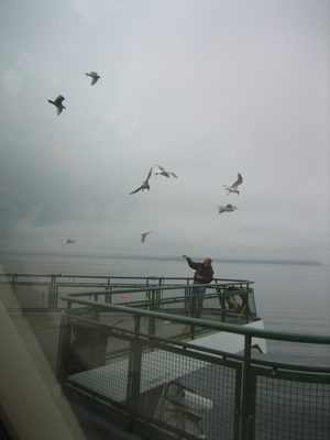
This of course attracted more seagulls. There was one...
-
Sunday morning, my new OLY friend Diana invited me to go...
-
We stopped a few times on the road from Hoodsport, WA to...
-
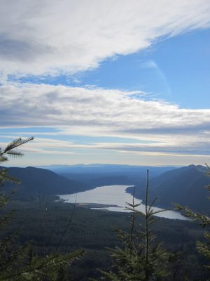
Between us and the mountains is Lake Cushman, which is a...
-
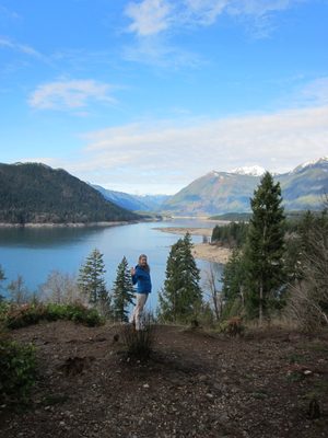
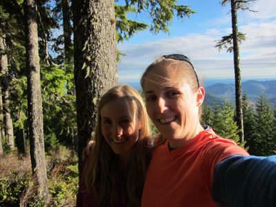
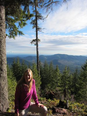
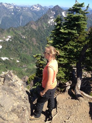
Self-portrait of Diana and myself with Cushman Lake behind.
-
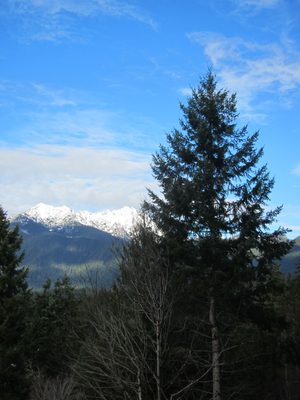
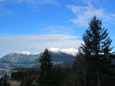
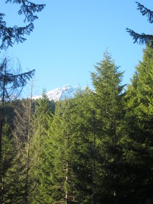
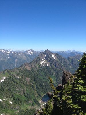
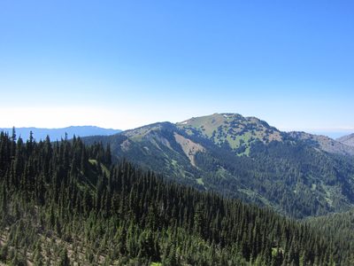
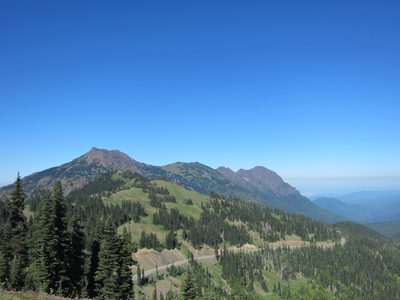
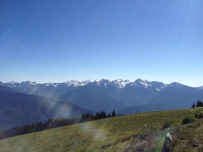
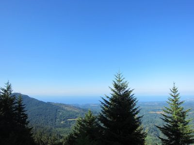
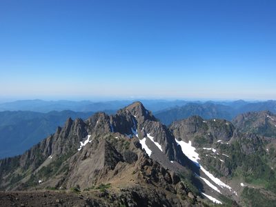
Another picture of the Olympics. This was basically my...
-
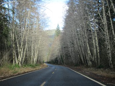
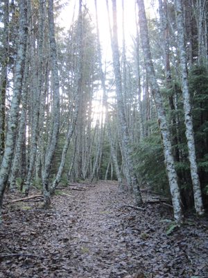
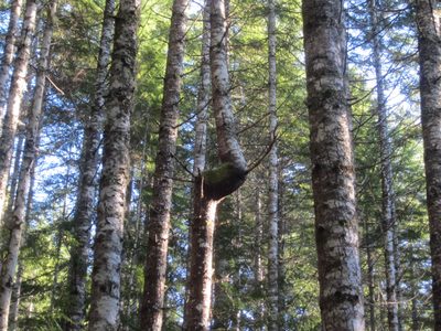
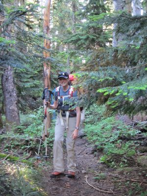
The road to the trailhead, surrounded by ... birch? trees.
-
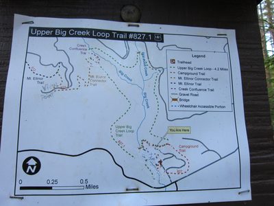
Our trail: the Upper Big Creek Loop Trail #827.1,...
-
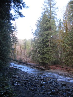
If this is the Big Creek, it doesn't look so big...
-
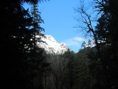
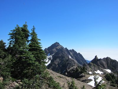
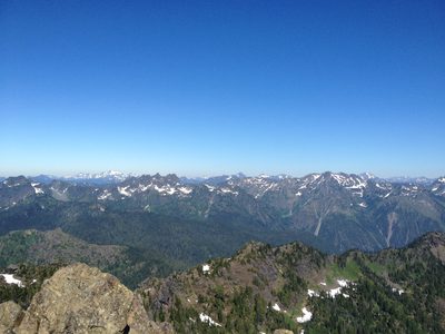
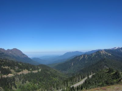
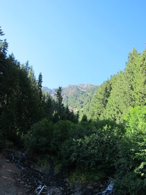
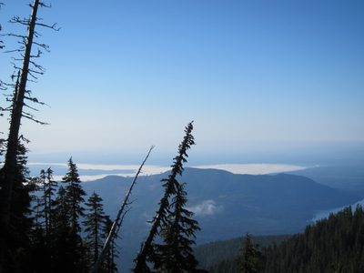
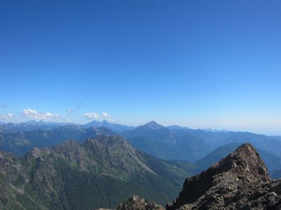
More views of mountains.
-
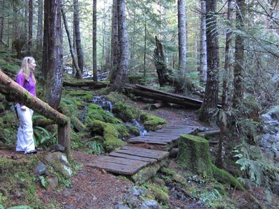
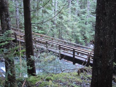
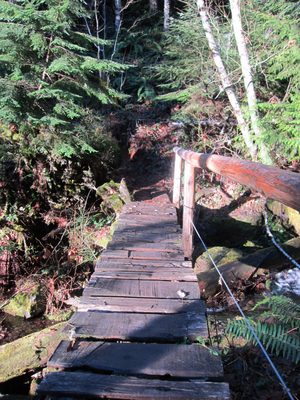
Woohoo, a bridge! It looked like the trail used to go...
-
Not sure if this is the Upper Big Creek or not.
-
We paused at what we thought might be the overlook......
-
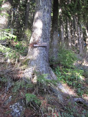
Ah ha! A few minutes later, we found the sign for the "RLOOK".
-
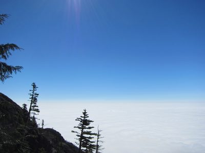
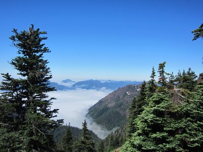
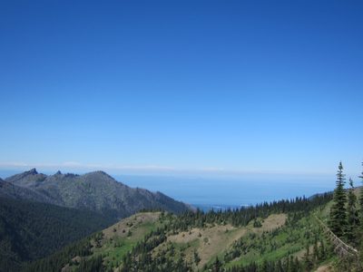
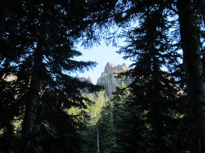
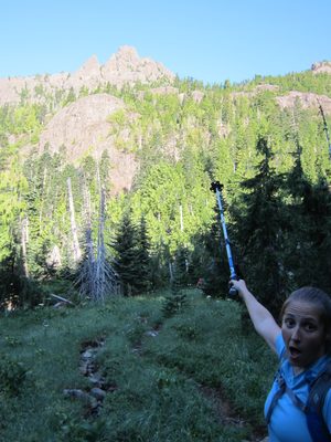
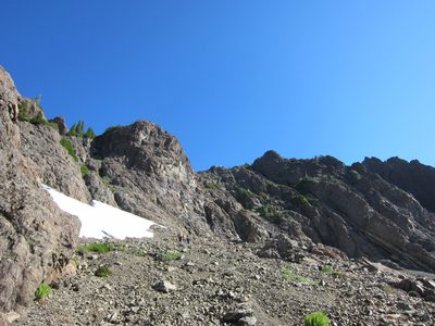
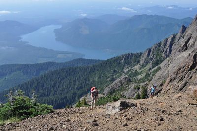
When we got to the actual overlook, the sight was...
-
Looking down towards Lake Cushman.
-
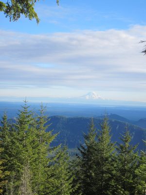
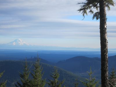
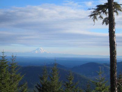
Mount Rainier again.
-
My big head is likely blocking the mountain. D'oh.
-
Diana and Mt Rainier. Barely visible in the full...
-
Catherine and the Mountain.
-
One more. It looks like I got Adams right behind that...
-
Looking down (or up) the trail.
-
Hey look! A bridge! We're now back on the main Upper...
-
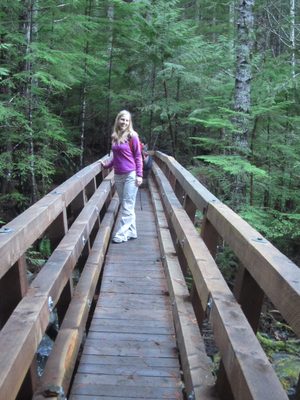
Catherine on the bridge.
-
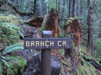
The bridge was over Branch Creek.
-
Diana makes the crossing. Check out the awesome green...
-
Diana poses on the bridge.
-
Flowing water.
-
Another bridge! The first half of this trail had a ton...
-
This was Diana's first hike with me, so she didn't mind...
-
Some of the bridges had wider spaces in them than...
-
Bridge! This one had a giant boulder precariously...
-
Diana in front of the giant boulder.
-
Catherine + bridge + beautiful day = smiles.
-
This bridge had a troll living under it.
-
It also was only halfway built, it seemed, with regard to sides.
-
Smiles!
-
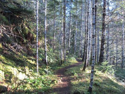
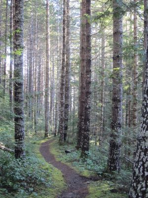
Beautiful sun-lit path through the trees.
-
Oh! Here's the other half of that other bridge. Sadly,...
-
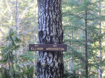
Huh, that's an odd sign to have on a tree...
-
Oh. That sign now makes more sense. I believe this is...
-
More of Mt Ellinor. Diana has actually hiked this!
-
And this is Mount Washington.
-
I suggested the trees needed trimming, but apparently...
-
I need more camera skills to somehow be able to both see...
-
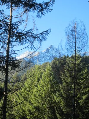
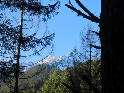
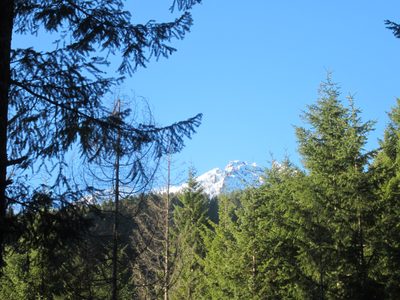
The mountains looked just spectacular. These pictures...
-
This hike had many entries for my "Pathways" collection.
-
Aw, poor tree. Really gotta wonder what happened there....
-
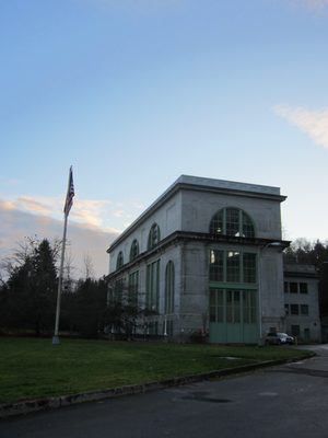
Power plant in Hoodsport, WA, just off US-101. Giant...
-
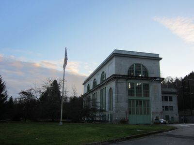
One more for good measure. It was a neat old building. ...
-
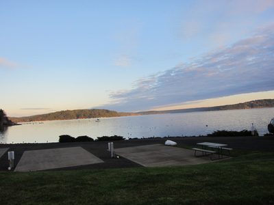
The Hood Canal part of Puget Sound was calm and...
-
Ah, yes: Junuary. The lovely time in the Pacific...
-
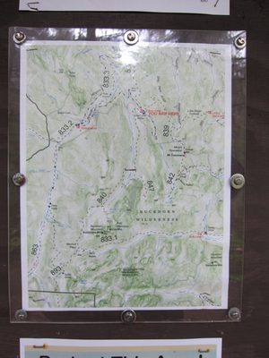
The map at the trailhead. A GPS map of where we went:...
-
We started bundled up because it was chilly.
-
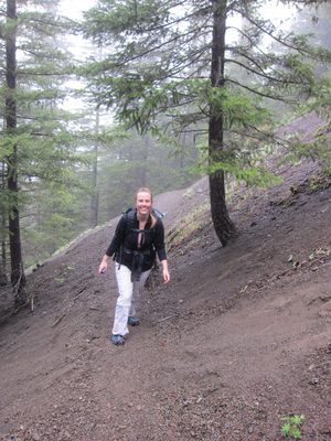
Things started out okay. While it was a bit wet and...
-
Standing on a log bridge!
-
Diana crosses the bridge.
-
Stepping carefully across a stream.
-
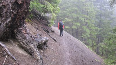
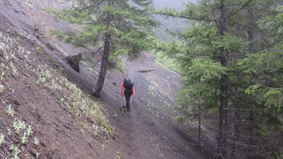
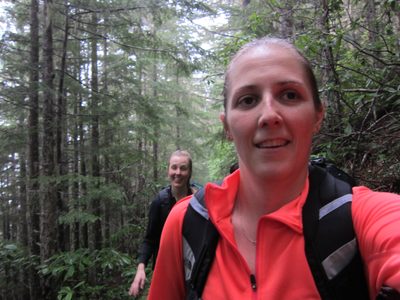
Diana hikes through the woods. The amount of fog was a...
-
This path looks scarier now than when we hiked it.
-
Eventually, we shed layers because the trail was fairly steep.
-
Working hard...
-
I wonder what lies through those trees, through the fog...
-
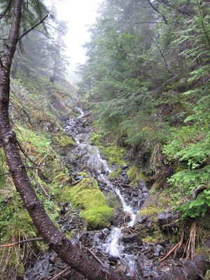
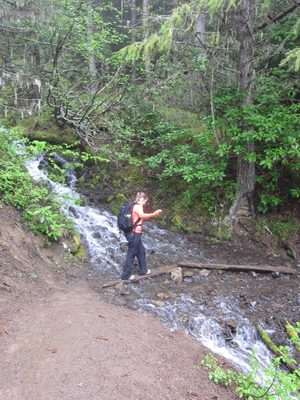
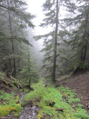
Pretty waterfall.
-
Trying to get both of us in the shot.
-
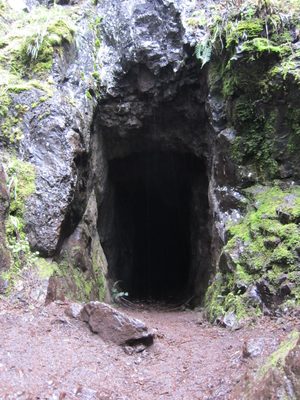
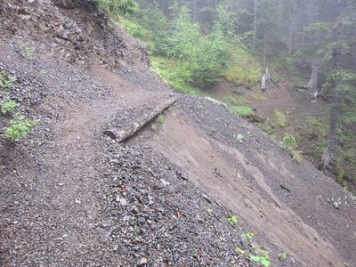
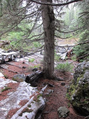
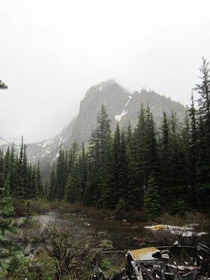
A mine! The trail writeup [...
-
The hike had two things we were looking to see: an old...
-
Which is good, cause it had started to rain, the...
-
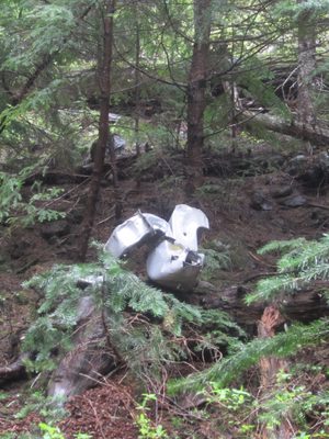
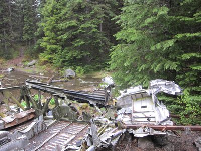
More plane parts.
-
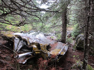
More plane.
-
It was a bit crazy to see all this metal laying about in...
-
And the glimpses of the mountains beyond indicated this...
-
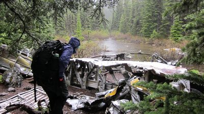
Exploring the plane parts. Note the raindrops on the...
-
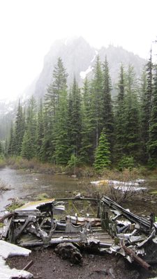
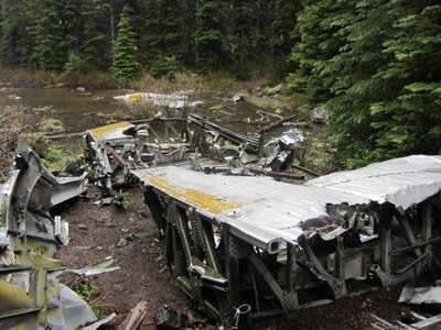
Wreckage and mountain.
-
I don't even have any pictures on the way back down! I...
-
Diana got one, though: heading downhill as fast as my...
-
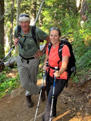
Last week, I took a day off from work and went hiking...
-
Here's a photo of Frank and Kathie, and the faintest...
-
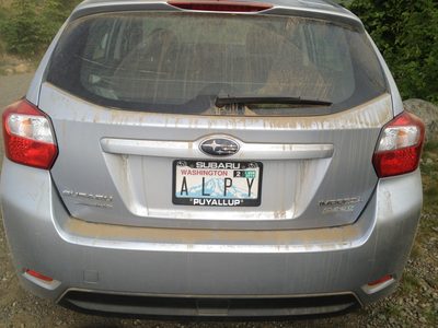
Frank's car after having driven up the dirt road to the...
-
Now, there is a whole backstory with this hike. It is...
-
Not a very long hike (1.5 mi, one way), but a decent...
-
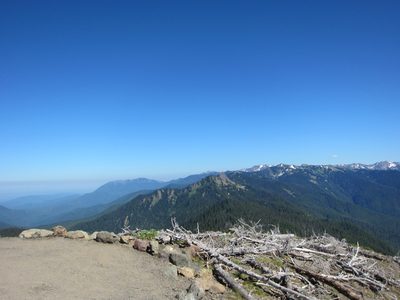
More hazy blue skies.
-
Frank looks down towards Hood Canal and Lake Cushman. ...
-
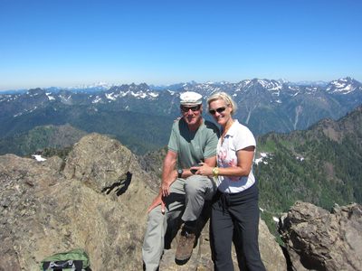
Frank and Catherine.
-
At the first lookout. We could see Mt Rainier, but I...
-
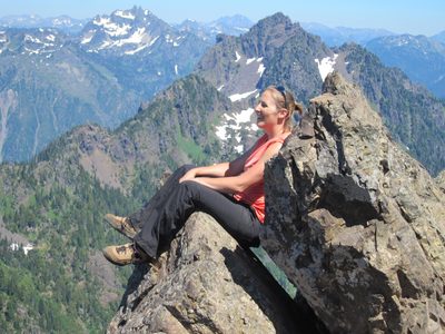
Demonstrating self-photography skills.
-
Sweet photo of Kathie and Frank.
-
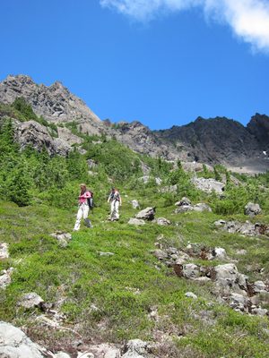
Catherine hiking up the trail.
-
Catherine and Frank pause on the trail.
-
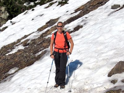
Making my way across a snowy patch. My hiking poles and...
-
Frank spends a lot of time climbing and hiking, and is...
-
There still isn't much to see below us...
-
Mmmm fir tips.
-
Somehow I convinced Kathie to try them, swearing that my...
-
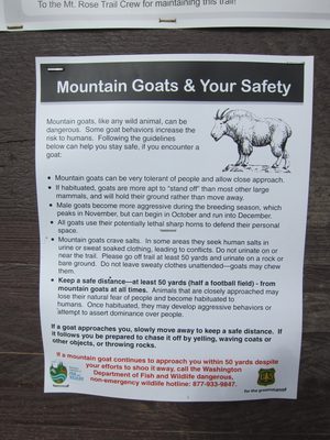
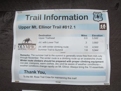
The trail is very popular and is very well developed and...
-
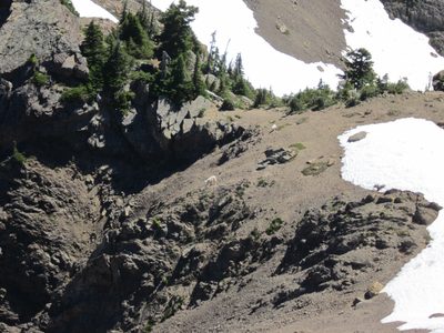
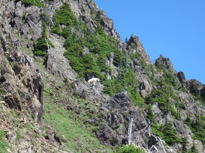
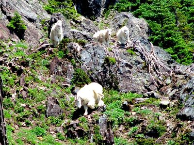
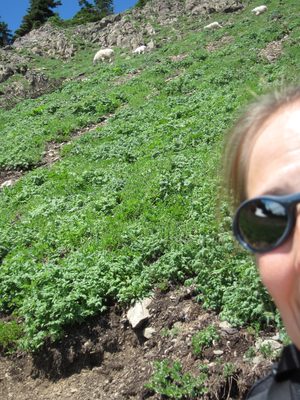
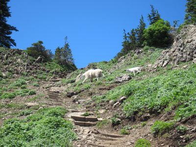
There's that human/goat again.
-
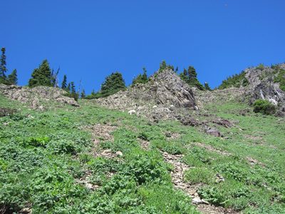
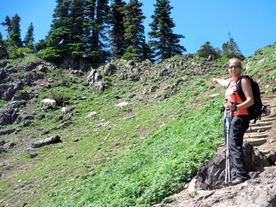
A view of the slope. Keep this meadow in mind for some...
-
Kathie works her way up the trail.
-
We eventually started getting above the mountains around us.
-
Trying so hard not to be squinty!
-
It's amazing to think that in town, it was gray and...
-
Frank sent me some photos which do not have time/date...
-
Not quite there, but getting close(r).
-
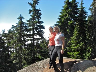
Catherine and Kathie take a break for a photo.
-
Hiking more well-maintained paths near the top.
-
Hey look, the car! It's the silver one in front.
-
Looking over at what I later learned was Mt Washington...
-
When we got to the top, we were really excited to see...
-
Frank looks down over the back of Mt Ellinor, with other...
-
Kathie, the edge, and mountains in the distance.
-
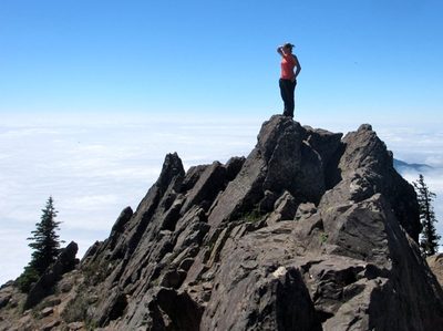
A successful topping out!
-
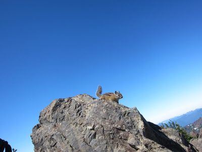
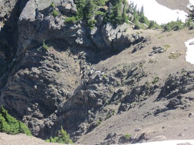
There were a couple of friendly chipmunks at the top who...
-
Step 1: climb to the top of something. Step 2: find the...
-
Mount Washington. We passed the trailhead either on...
-
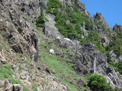
Kathie looks for goats.
-
... or just at the dizzying dropoff.
-
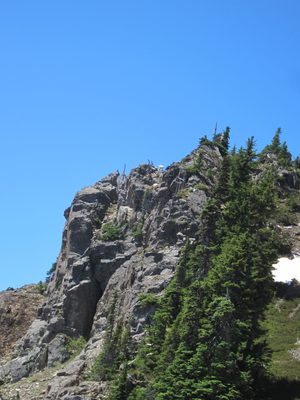
Looking out from the top of Mt Ellinor.
-
Frank ponders the yonder.
-
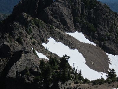
On that middle snowpatch are a couple of imperfections. ...
-
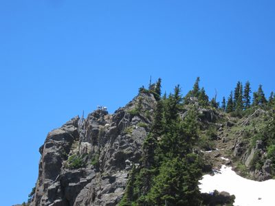
Looking off the backside of Mt Ellinor. We could hear...
-
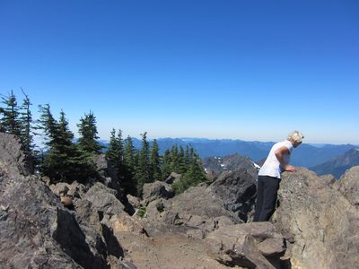
Catherine pondering the yonder.
-
And there's another, in the middle of the shot near a rock.
-
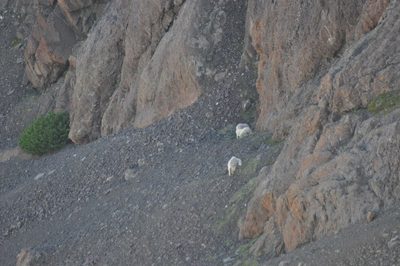
Mama and baby goat come around the corner...
-
... Mama checks out the edge...
-
... and baby scampers over to join her. Those two...
-
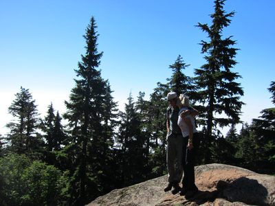
I found a really comfy rock to sit in. My back was on a...
-
Frank, Kathie, and some mountains. The snow-capped one...
-
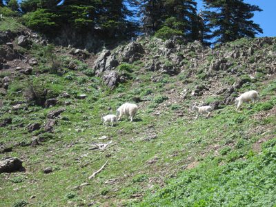
Goats on the move! These are the ones who were on the...
-
Hiking down through some snow off the top. Those goats...
-
Hiking down more steps (maybe the same ones as before).
-
Self-photo!
-
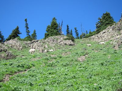
We are now back down to that steep meadow. Who pops out...
-
After he checked things out, the family followed.
-
We came from the upper left; they came from the upper...
-
Dad, baby, yearling, and Mom was how we saw things.
-
Close-up of the whole family (courtesy of Frank). I...
-
Attempt #1 at putting me and the goats in the same photo.
-
Attempt #2. I can't say either is really a print-it-out...
-
Frank did a better job of capturing me + goats.
-
Dad, shedding some fur, and baby, all fluffy and new.
-
The whole family scrambled across the path and straight...
-
Once at the top, they basically just looked down at us...
-
I swear they honestly just walked up the side of that. ...
-
Finally, Lake Cushman appears below us.
-
Hiking down through the snow patches again. We were on...
-
At the bottom. We joked we should be in a Gatorade ad.
-
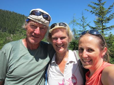
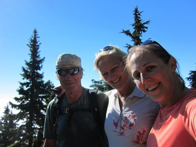
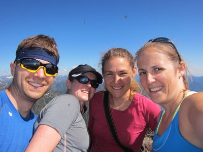
Final group shot.
-
Pointing at where we'd been. The top of the mountain is...
-
On our way back to town, we pulled off at the Lake...
-
One last shot. A trip totally worth taking the day off for.
-
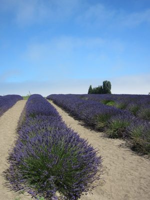
On the road to Sequim to see the lavender, I spotted...
-
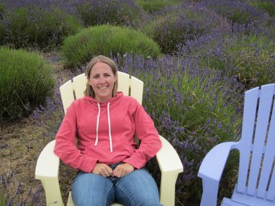
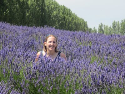
Sitting in a field of lavender. I'm somehow a bit...
-
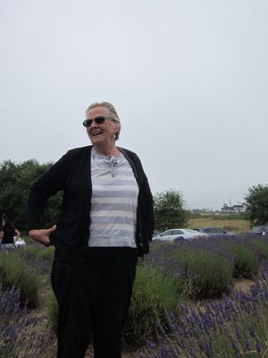
Mom stands among the lavender bushes.
-
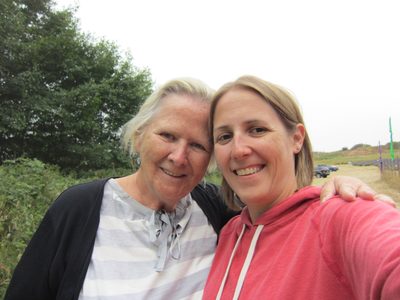
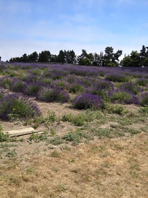
Our first Lavender field at Blackberry Forest farm. ...
-
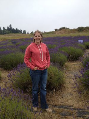
Attempt 1 of 2 at self-photography.
-
Attempt 2 of 2.
-
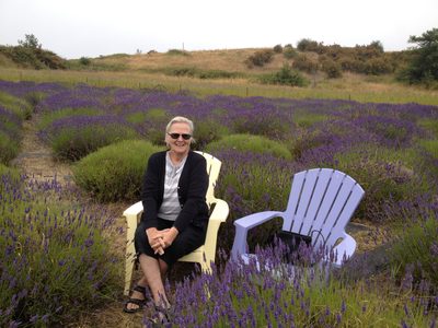
...but they had lovely chairs set out. Still was a...
-
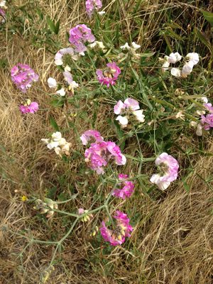
These wildflowers were everywhere along the roadside, no...
-
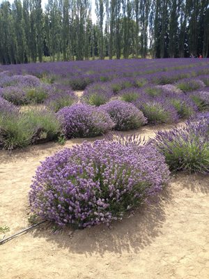
Hitting the big time lavender fields now at Graysmarsh...
-
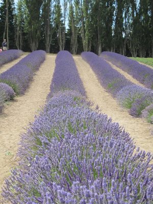
At Graysmarsh Farm in Sequim.
-
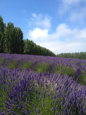
More fields of lavender. The clouds were clearing and...
-
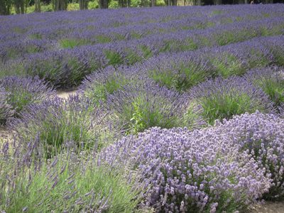
I was surprised to learn how many varieties of lavender exist.
-
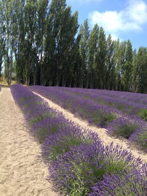
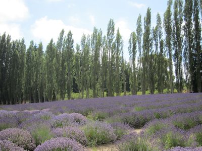
I liked the juxtaposition of the upright poplars and the...
-

Maybe I could print one of these and put it somewhere it...
-
View across the other fields. Prefer the poplars.
-
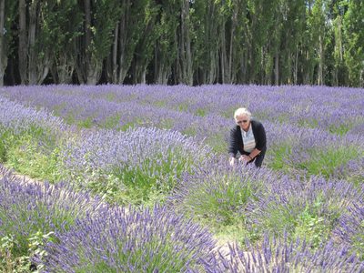
Mom considers the bushes.
-

Catherine (and a bee) amongst the lavender.
-
This is my current background on my phone. I rather...
-
Don't worry, the bushes weren't actually this tall.
-
I'm not sure these photos really show how interesting a...
-
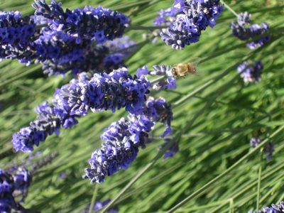
A bee doin what bees do.
-
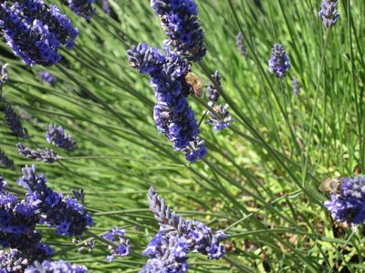
Another bee.
-
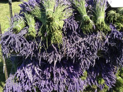
Bushels of lavender for sale. Mom bought me one and it...
-
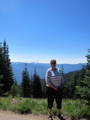
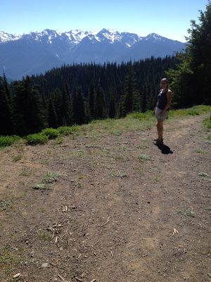
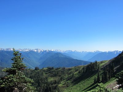
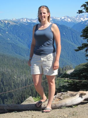
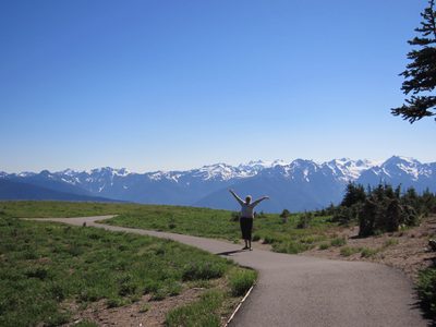
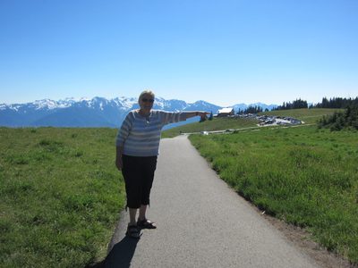
Mom at Hurricane Ridge.
-
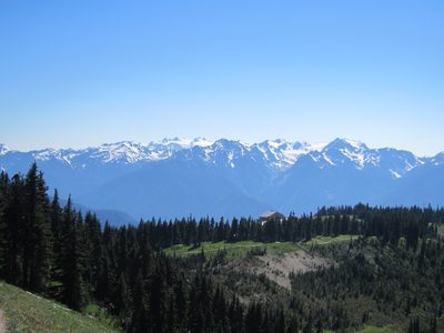
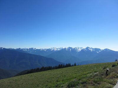
Mountains visible from Hurricane Ridge.
-
Left the lavender and entered Olympic National Park and...
-
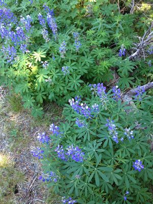
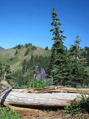
The lupine were past their peak
-
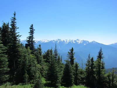
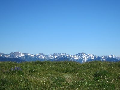
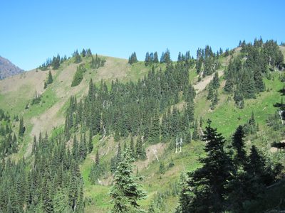
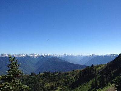
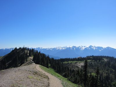
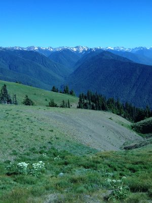
Views from just about everywhere of snow traced peaks. ...
-
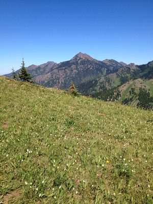
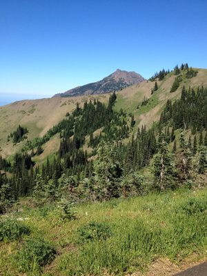
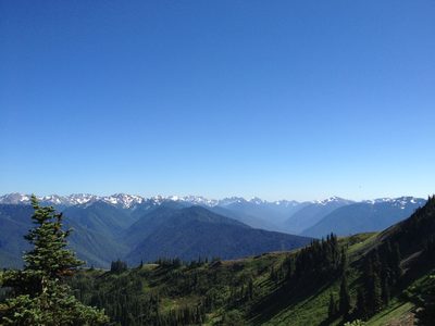
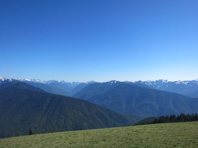
Looking out at more mountains.
-
No signs of the pine bark beetle here, unlike Colorado.
-
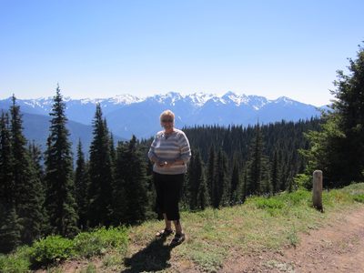
Mom with the mountains.
-
The previous photos were taken from the trail visible on...
-
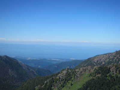
Looking out across the Strait of San Juan de Fuca,...
-
Faraway mountains and closeup flowers.
-
Given that our plan was to look at lavender in fields...
-
I do like that Washington has lupines, even if they...
-
Looking towards the High Ridge Trail offshoot to Sunrise...
-
We did some mild hiking / walking. Perfect temps
-
Pretty sure that is Strait of San Juan de Fuca which...
-
Another group photo. It had gotten downright warm!
-
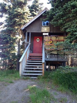
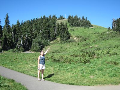
Ski patrol cabin near the top of what didn't appear to...
-
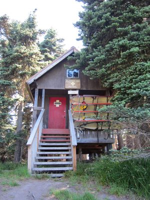
Ski patrol building. Hmm. Seems like there should be a...
-
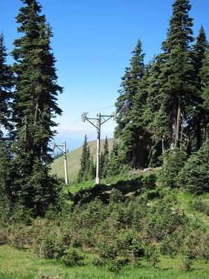
Aha. It was interesting to see absolutely no...
-
This plant was not blooming the way we saw at the top of...
-
Looking down at the Visitor Center and across at the...
-
And again, towards Canada.
-
I believe that is Mt Angeles.
-
The main canyon on the right is, I believe, where the...
-
From the top of Sunrise Point. With giant fly (the bugs...
-
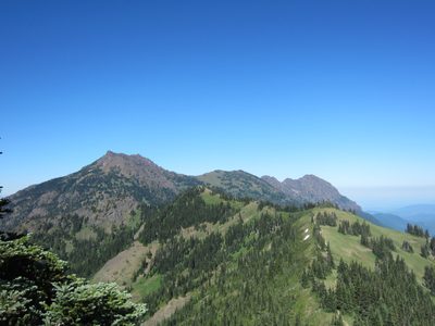
Surrounding mountains.
-
At Sunrise Point.
-
Note to self: do not step back.
-
The photo of the High Ridge Trail was taken from just...
-
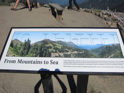
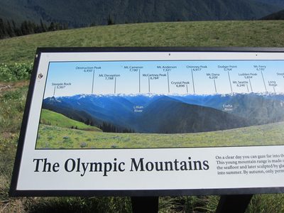
I tried to get some photos of these maps and then what...
-
And here's the right side of the view. Blue Mountain is...
-
Mt Angeles and Rocky Peak (left side of the map).
-
Middle of the map.
-
Mom celebrates the beauty around us.
-
Catherine pointing at where she had just been.
-
Mom pointing where we were headed.
-
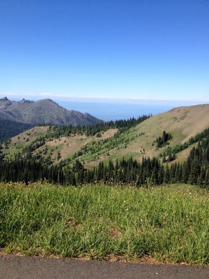
More of the same
-
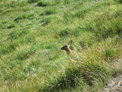
This was about the extent of the wildlife seen at...
-
More photo maps.
-
I think there were people blocking my ability to get...
-
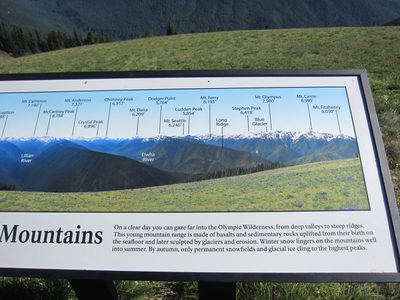
Right side - Mt Fitzhenry, Mt Carrie, etc.
-
Middle, with the Elwha River valley.
-
Left, Lillian River valley.
-
Now with lens flare!
-

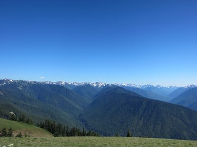
One last shot of fake-looking faraway mountains.
-
Aw. Cute.
-
This is looking up a valley which has a trail going up,...
-
Looking up the canyon at the Switchback Trail head.
-
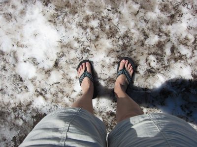
Actually, some of us washed our feet off.
-
... while others took pretty pictures.
-
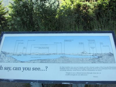
An explanatory sign partway down the mountain.
-
Can you see all that was pointed out?
-
Left side.
-
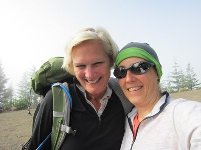
Sunday morning, I joined up with my friends Chrissy,...
-
The first hour or so was spent in some pretty dense...
-
We came out into a meadow and again scoped out the summit.
-
Being less silly.
-
And one more.
-
Terra hiking through the meadow.
-
Terra poses atop a rock we decided to use for our first...
-
Chrissy working up to the snack rock. A lot of the...
-
I believe those rocks are the ones I saw goats...
-
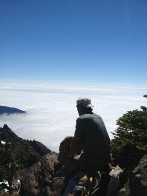
Pondering the yonder. The clouds are over the Hood Canal.
-
A better view of the Hood Canal. I have learned on these...
-
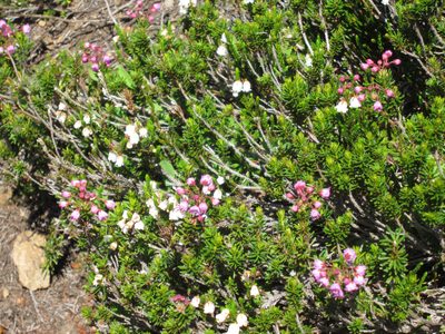
Wildflowers were really starting to come out; the fields...
-
You can't really see it, but this whole field is full of them.
-
Somewhere near halfway?
-
Terra, ready to rock.
-
Josh tended to hike ahead of us cause we were slow in...
-
We crossed a few small snowfields, which allowed for...
-
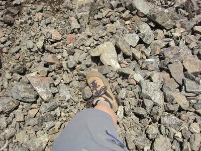
More scree.
-
Making our way across the rocks.
-
Self-photo!
-
The clouds are clearing! I like using big rocks as...
-
Chrissy and Terra.
-
Chrissy and Catherine make faces at Terra.
-
With some scenery behind me.
-
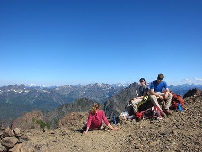
Lunch! Not a bad view. We're not quite at the top, but...
-
The summit, from our lunch saddle spot.
-
Goats on the backside of the mountain.
-
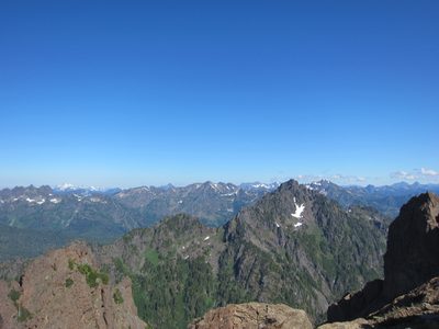
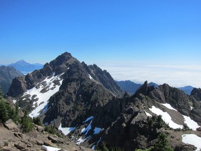
The mountains behind Mt Washington. These should look...
-
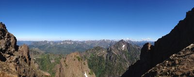
Panoramic view to the west of the saddle below the...
-
Panoramic view to the east of the saddle below the...
-
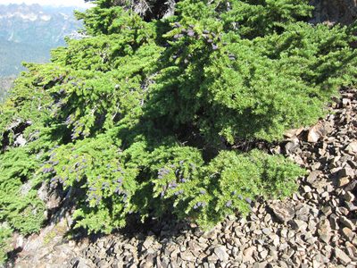
Anyone know what this bush is? The pinecones were...
-
Looking from Mt Washington back towards Mt Ellinor. ...
-
The actual summit took some scrambling, thus why we ate...
-
Terra climbs to the top.
-
Chrissy made it to the top too.
-
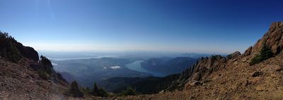
Looking northeast up the Hood Canal.
-
And north towards Port Angeles.
-
I include this shot of the summit only because it shows...
-
And here's a better shot, that Chrissy took.
-
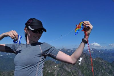
Chrissy also brought the world's smallest kite to fly on...
-
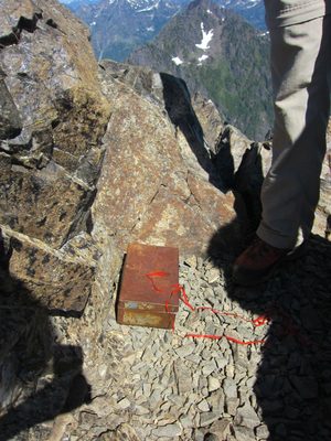
There was a summit register, so we got to log our...
-
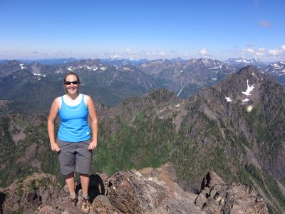
Taking photos on top of the world!
-
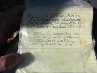
Josh filled it in for us. Note the couple ahead of us -...
-
Another shot of Ellinor.
-
Ahhhhh! Crazy giant flying ant!
-
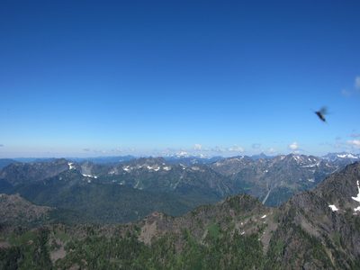
Better landscape shot.
-
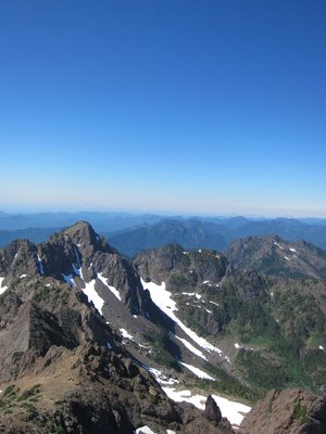
With me in it! Mt Olympus is the snowy one in the background.
-
Climbing back onto the main part of the summit.
-
More purdy flares.
-
And scree as viewed on the way downhill. When it was all...
-
Funny pair of photos - hiking down rocks...
-
... and hiking through a meadow. Not a bad place to spend a day!