Tubal Cain Mine Trail
Location Description
24 photos
-

Ah, yes: Junuary. The lovely time in the Pacific...
-
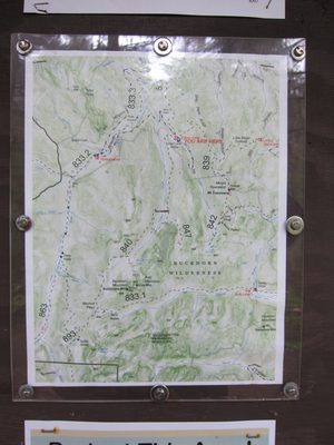
The map at the trailhead. A GPS map of where we went:...
-
Things started out okay. While it was a bit wet and...
-
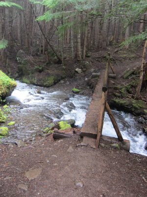
Standing on a log bridge!
-
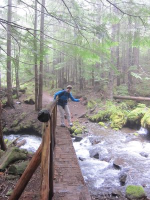
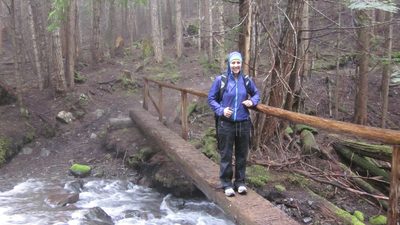
Diana crosses the bridge.
-
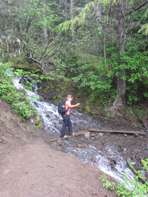
Stepping carefully across a stream.
-
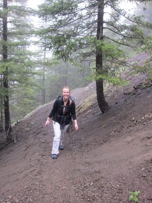
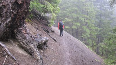
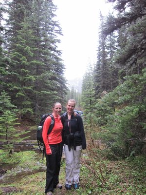
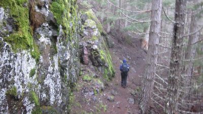
Diana hikes through the woods. The amount of fog was a...
-
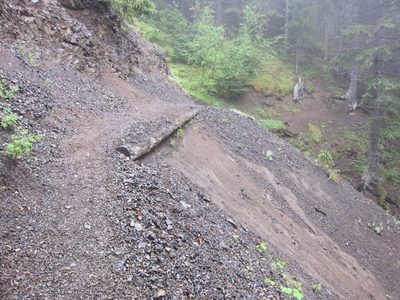
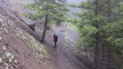
This path looks scarier now than when we hiked it.
-
Eventually, we shed layers because the trail was fairly steep.
-
Working hard...
-
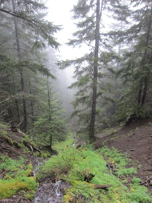
I wonder what lies through those trees, through the fog...
-
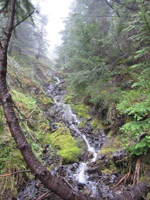
Pretty waterfall.
-
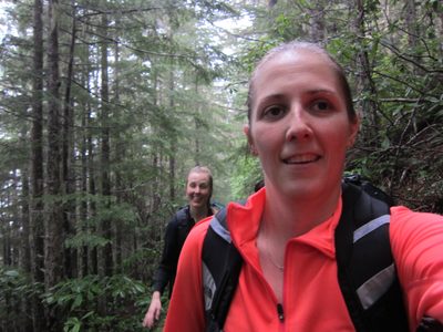
Trying to get both of us in the shot.
-
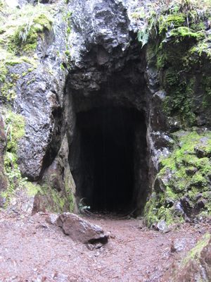
A mine! The trail writeup [...
-
The hike had two things we were looking to see: an old...
-
Which is good, cause it had started to rain, the...
-
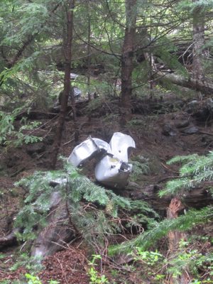
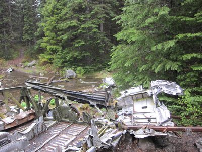
More plane parts.
-
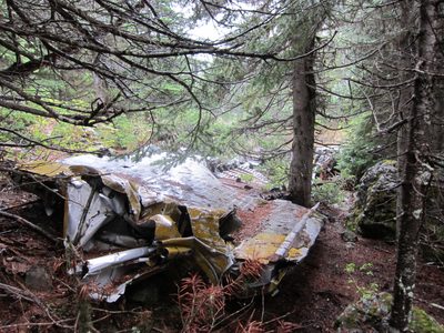
More plane.
-
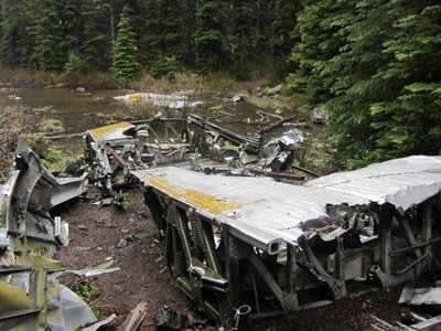
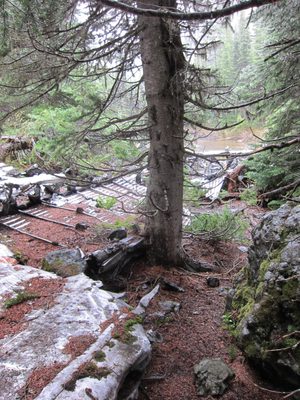
It was a bit crazy to see all this metal laying about in...
-
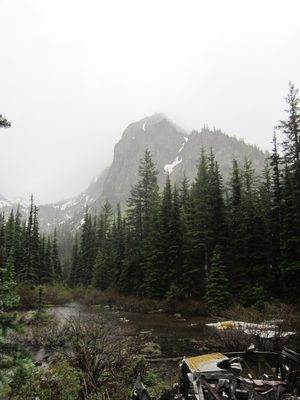
And the glimpses of the mountains beyond indicated this...
-
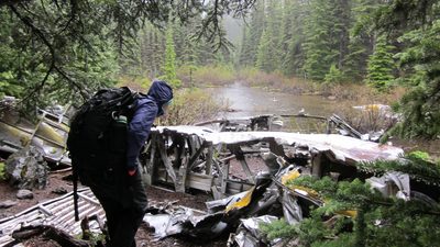
Exploring the plane parts. Note the raindrops on the...
-
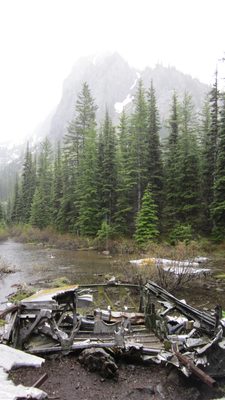
Wreckage and mountain.
-
I don't even have any pictures on the way back down! I...
-
Diana got one, though: heading downhill as fast as my...