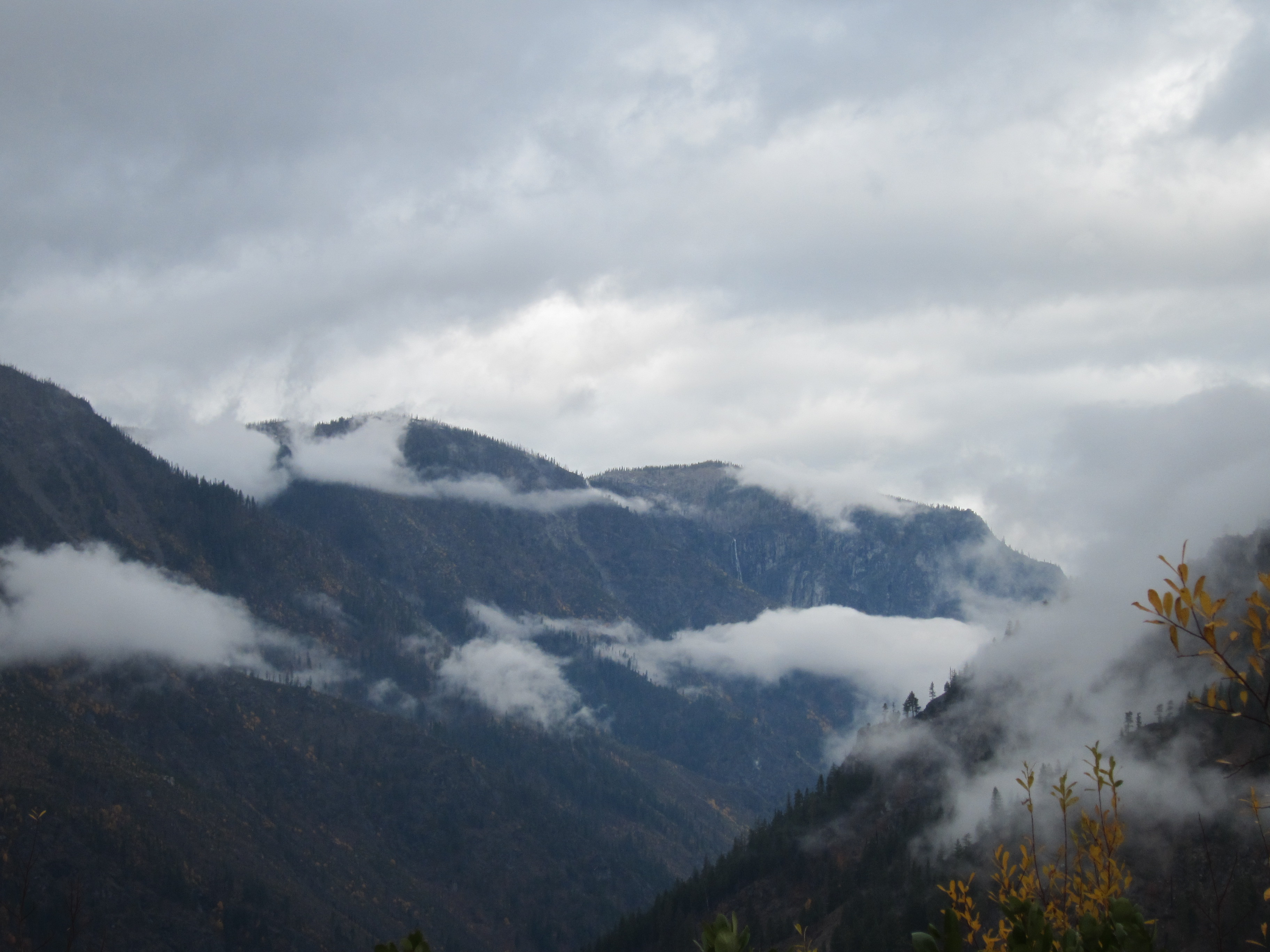
I need a good (topo) map to really figure out what's going on, but we think this is Icicle Canyon. Also, if you look closely, you'll see a really great waterfall on the far slope. For our route, check out this link - http://www.dailymile.com/routes/1346217-walking-route-in-leavenworth-wa
Comments
It does look very Alpine. What was the altitude at the top of the Ridge?
— Margaret Hovell
I meant to add (and now have) a link to our route. We got a bit over 3000 ft (started at 1200 ft). I'm not sure what the ridge we are looking at is at, but I wouldn't think more than another 1000 ft up?
— Catherine Hovell
Some of those hills are almost 7000 ft! (according to Google's terrain maps). I think that's where the Fourth Of July trail goes based on the description I read.
— John Hovell
Wow, okay, my estimate was way off then.
— Catherine Hovell