What elevation were you at where there was still some snow? Looks much higher than your previous hike. How high can you drive on a road?
— John Hovell
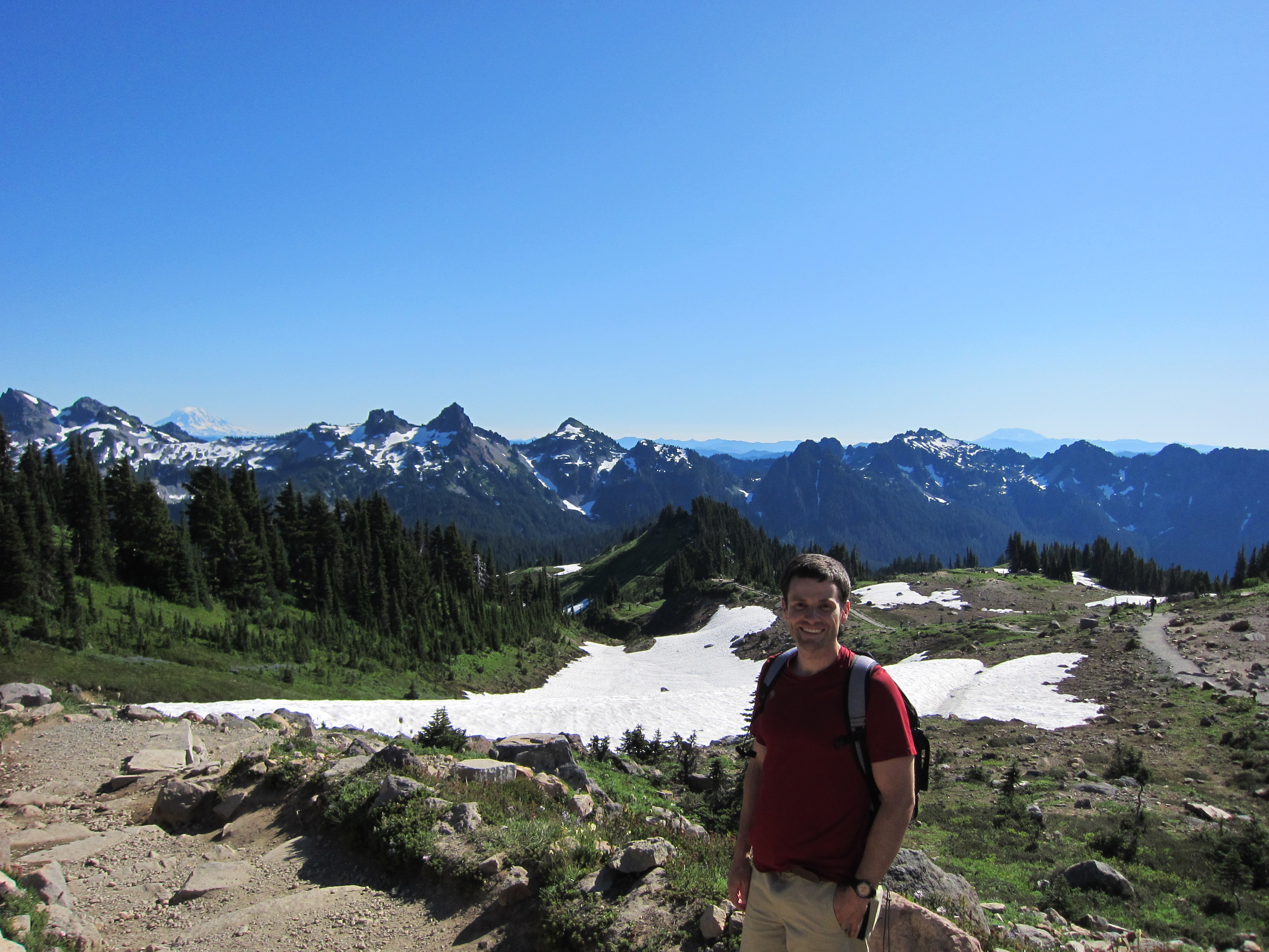
The Paradise trailhead / area / park is at 5400 ft. It seems to be the highest you can drive on the south side of the park. We climbed on this trail to 6300, and only saw snow towards the end, so maybe 6000? The Sunrise trailhead is at 6400 ft (on the north side of the park).
Comments
What elevation were you at where there was still some snow? Looks much higher than your previous hike. How high can you drive on a road?
— John Hovell
The Paradise trailhead / area / park is at 5400 ft. It seems to be the highest you can drive on the south side of the park. We climbed on this trail to 6300, and only saw snow towards the end, so maybe 6000? The Sunrise trailhead is at 6400 ft (on the north side of the park).
— Catherine Hovell